

April 11, 2026
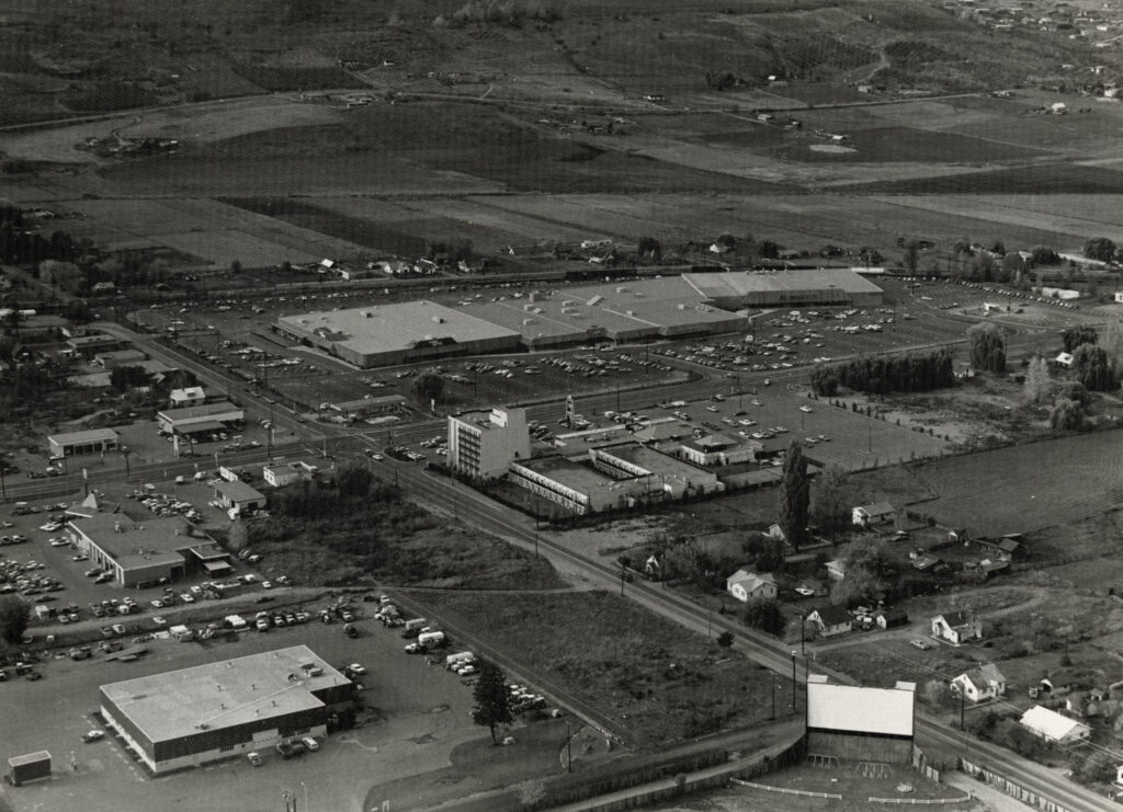
Aerial photography is an important way of documenting an evolving city landscape. In Vernon, Doug Kermode (1913–2001) is often credited with capturing much of the city from above over a forty-year span up until the late 1980s; in fact, the Vernon Archives holds more than 500 aerial photographs taken by Kermode.
Other photographers were also active during this period, including David Madison, a recent collection of whose work has been processed by the Vernon Archives.
Madison (1944–2019) trained as an electronics technician with the RCAF, where he earned both his private and commercial pilot’s licences. After leaving the RCAF, he briefly taught flying before returning to school to complete a Bachelor of Arts and a Master of Education. He later worked as a teacher-librarian at W. L. Seaton Secondary School until his retirement in 2002. Throughout his life, Madison combined his passion for flying with his interest in photography, and for several years flew across British Columbia to pursue aerial photography.
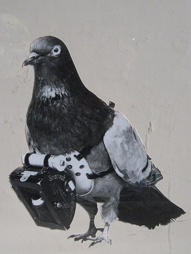
The history of aerial photography is almost as fascinating as the images themselves. The earliest aerial photographs were taken using kites, balloons, and even pigeons. In 1903, Dr. Julius Neubronner of Germany patented a miniature pigeon-mounted camera activated by a timing mechanism. Around 1908, one of the first known pigeon aerial photographs was taken, showing a castle in Kronberg, Germany.
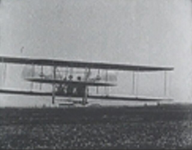
The first known use of a motion picture camera mounted on a heavier-than-air aircraft is believed to have occurred a year later over Rome, resulting in the three-minute silent film Wilbur Wright und seine Flugmaschine.
Over time, aerial photography has been used to assess geology, archaeology, disaster sites, environmental change, and the growth and development of towns and cities. The Vernon Archives holds a collection of more than 1,000 aerial photographs and, with the help of social media contributors, has recently been able to identify the locations of several Vernon neighbourhoods captured in Madison’s work.
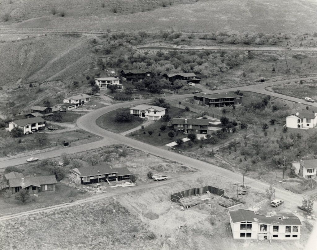
Alongside Kermode and other aerial photographers, Madison’s work provides a lasting visual record of Vernon’s evolving landscape.
Archives Manager, Gwyneth Evans